
Land Surveying & 3D Laser Scanning Across Saudi Arabia
Topographic surveys, 3D laser scanning, survey crew hire and GNSS control networks for developers, contractors and government projects across the Kingdom.
Surveying capacity for your project
From a single site survey to long-term crew deployment, we provide the field teams, equipment and engineering checks your project needs.

Topographic Surveys
Detailed surveys of levels, features and boundaries for design, infrastructure and construction projects.
- GNSS RTK and total station surveys
- Contours, sections and DTM
- Tied to the national coordinate system

3D Laser Scanning
High-density point clouds of buildings, facilities and infrastructure using the Leica RTC360.
- As-built documentation
- Scan to BIM and Revit models
- Facades, MEP and plant rooms

Survey Crew Hire
Qualified surveyors with fully equipped crews deployed to your site for days, weeks or the full project duration.
- Surveyors with GNSS and total stations
- Setting out and as-built checks
- Daily, monthly or project-based terms
Complete surveying support for every project stage
Construction Survey & Engineering Support
Setting out, control networks, monitoring and as-built surveys that keep construction on line and on level.
Aerial Survey & Drone Mapping
UAV photogrammetry for large sites: orthophotos, elevation models and 3D models delivered quickly and safely.
Cadastral Surveys & Survey Reports
Boundary surveys, official survey reports (Qarar Masahi) and title deed services for plots and building permits.
Municipal Transactions & Permits
Complete handling of municipal (Balady) transactions, from survey reports to building permit requirements.
Urban Planning & Land Subdivision
Planning studies and subdivision schemes that turn raw land into approved, serviceable plots.
GIS & Mapping
Geospatial databases and thematic maps that integrate survey data with your records and planning needs.
About Abnia
An engineering consultancy with a dedicated surveying department since 1988
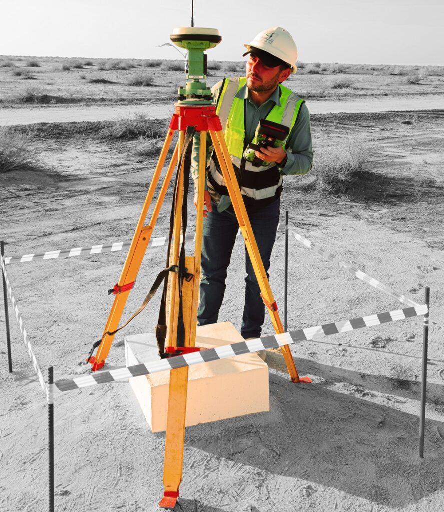
Abnia Consulting Engineers has provided engineering, urban planning and surveying services to government entities, developers and contractors across Saudi Arabia since 1988. Our Surveying Department combines qualified engineers, experienced field crews and modern GNSS, total station, 3D laser scanning and drone equipment to deliver accurate data on schedule, wherever the project is located in the Kingdom.
- Topographic, laser scanning and construction surveys for projects Kingdom-wide
- Survey crews and equipment available for short and long-term deployment
38
Why Choose Us
Why clients choose Abnia
From a single site survey to large infrastructure and development projects, we combine field experience, modern equipment and regulatory knowledge to deliver data you can build on.
Field Teams Across the Kingdom
Modern Survey Technology
Municipal Expertise
Accuracy and On-time Delivery
Our Work
Selected Projects
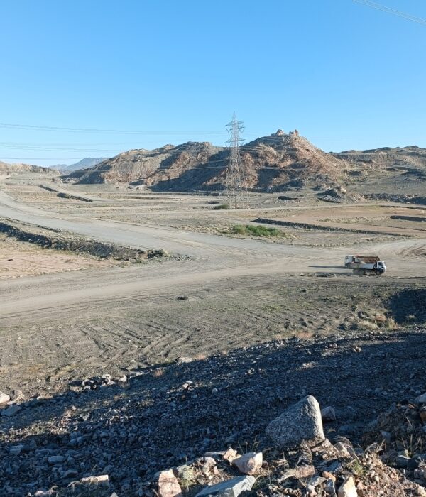
Al-Hussainiyah Topographic Survey
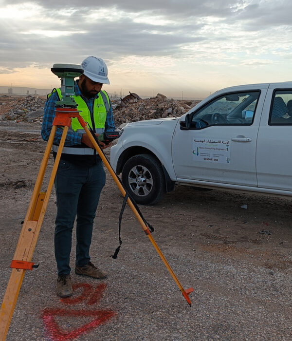
Plots 6 & 2/3 Survey – Riyadh
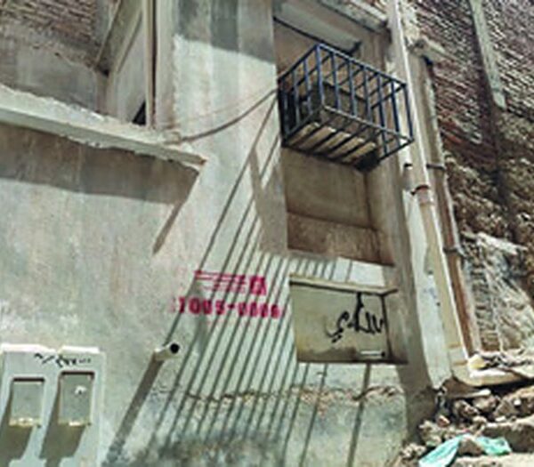
Al-Kedwa District Survey
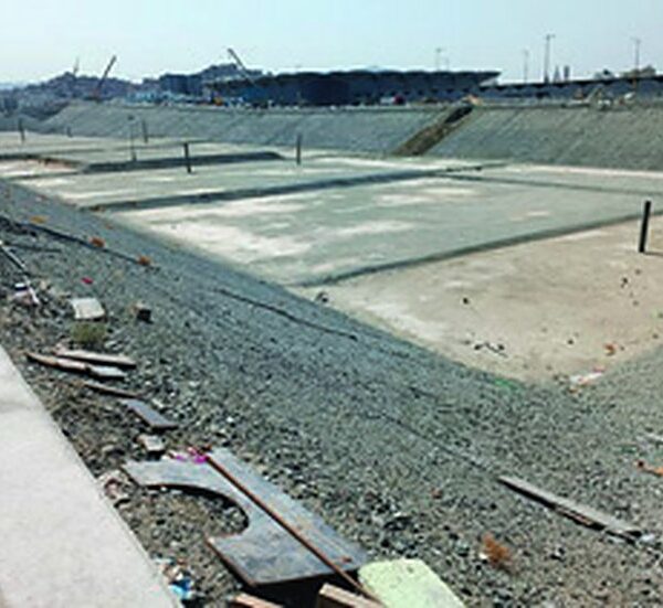
Masar Project Survey
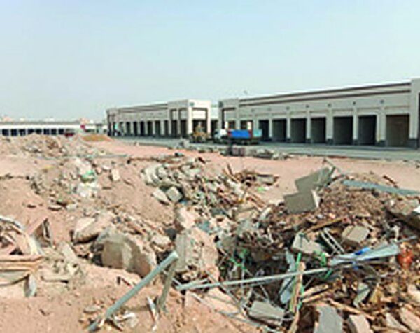
Midrar Project Survey
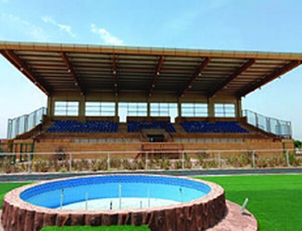
Al-Khafji Survey Project
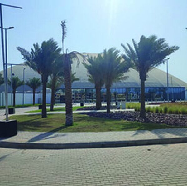
Jeddah Airport Lands Project
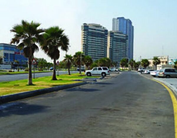
Southern Province Cement Survey
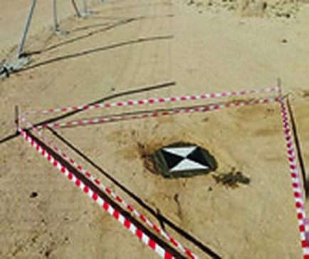
NEOM Ground Control Points
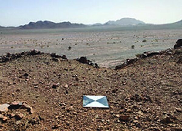
Al-Ula Surveying Project
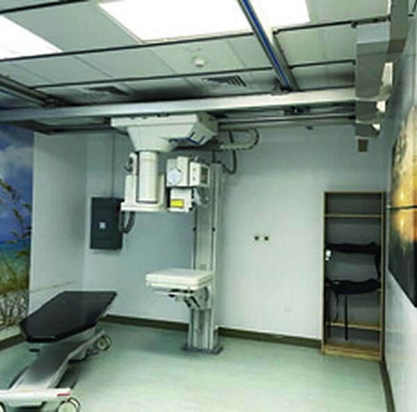
Radiology Centers Laser Scanning
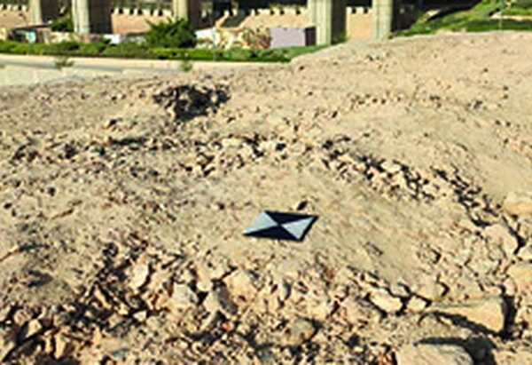
Diriyah Gate Surveying Project
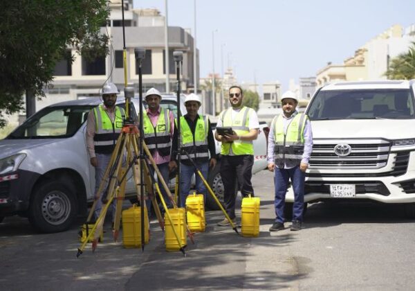
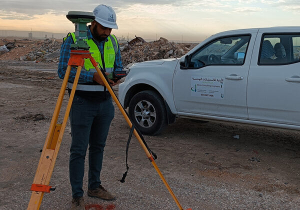
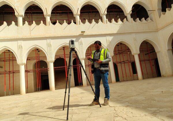
Engineering and Land Surveying Office in Jeddah, Serving All of Saudi Arabia
Abnia Consulting Engineers is a Saudi engineering consultancy founded in 1988 in Jeddah. Its survey department works as a complete land surveying office and surveying company for developers, contractors, consultants and government entities, from a single plot to large infrastructure and giga-project sites across the Kingdom.
Topographic survey and land surveying
Topographic surveys, boundary surveys and detailed site surveys with GNSS RTK and total stations, delivered as CAD drawings, contour maps and terrain models.
Drone survey and aerial mapping
Drone surveys with ground control points for orthophotos, elevation models and contour maps of large sites, faster and safer than ground methods alone.
3D laser scanning and Scan to BIM
Leica RTC360 laser scanning of buildings and facilities, processed into point clouds, as-built drawings and Revit BIM models.
Survey crew hire
Qualified surveyors and fully equipped survey crews for contractors on daily, monthly or project-based terms.
Construction survey and setting out
Control networks, setting out, monitoring and as-built surveys that keep construction on line and on level.
Survey reports and municipal transactions
Survey reports, title deed services, building permit requirements and Balady transactions prepared by an accredited engineering office.
Get a quotation
Ready to start your project?
Send us the project location and scope, or call or WhatsApp us on +966 55 567 1908, and we will reply with a clear scope of work and quotation.
FAQ
Frequently asked questions
It is the official document, issued through the municipality on the basis of a field survey by an accredited engineering office, that confirms the location, boundaries, dimensions and area of a plot according to the approved plan and the title deed. It is required for building permits, deed updates, splitting or merging plots and many real-estate transactions.
A copy of the title deed, the approved plan and plot numbers, the location of the site and the purpose of the survey (permit, design, construction or deed update). With these we confirm the scope and send you a quotation.
Yes. Our head office is in Jeddah and our crews mobilise to project sites throughout the Kingdom, including Riyadh, Makkah, Madinah, the Eastern Province and the giga-project regions.
Yes. We provide surveyors and fully equipped survey crews with GNSS receivers and total stations on daily, monthly or project-based terms, for setting out, quantity checks and as-built surveys.
Registered point clouds (E57, RCP), 2D drawings of plans, sections and elevations, and BIM models in Revit, depending on the level of detail your project requires.
Depending on the service: CAD drawings (DWG and PDF), coordinate lists tied to the national reference system, contour maps and elevation models, point clouds or 3D models, and the completed municipal documents when the work is part of a Balady transaction.
Both. Abnia Consulting Engineers is an accredited Saudi engineering office established in 1988, and its survey department operates as a specialised land surveying company with its own field crews, GNSS receivers, total stations, laser scanners and drones.
Yes. We plan the flight, establish ground control points with GNSS and deliver orthophotos, elevation models, contour maps and 3D models of the site, tied to the national coordinate system.
The price depends on the site area, terrain, location and the deliverables you need. Send us the site location and the purpose of the survey and we will reply with a quotation, usually within one working day.