Project Details
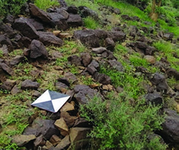
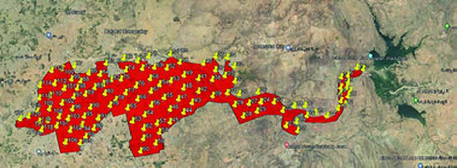
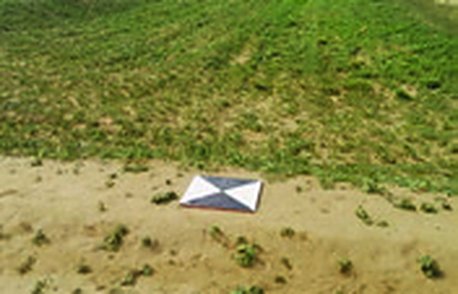
120 RTK ground control points along an extended corridor in Jazan.
Project Name
Jazan Project
Category
Drone Survey,GNSS Control Network
ClientFalconViz
LocationJazan
Year2021
ServicesGNSS Control Network, Drone Survey
Project overview
Tied to the Ministry of Municipal and Rural Affairs control network, we surveyed 120 ground control points by GNSS RTK along an extended corridor for a drone survey.
Scope of work
- 120 GCPs by GNSS RTK tied to MOMRA control
Project gallery
Planning a similar project?Our survey teams deliver projects like this across every region of Saudi Arabia.