Project Details
Topographic survey of about 2 km² of land, with control network, contour maps and DTM.
Project summary
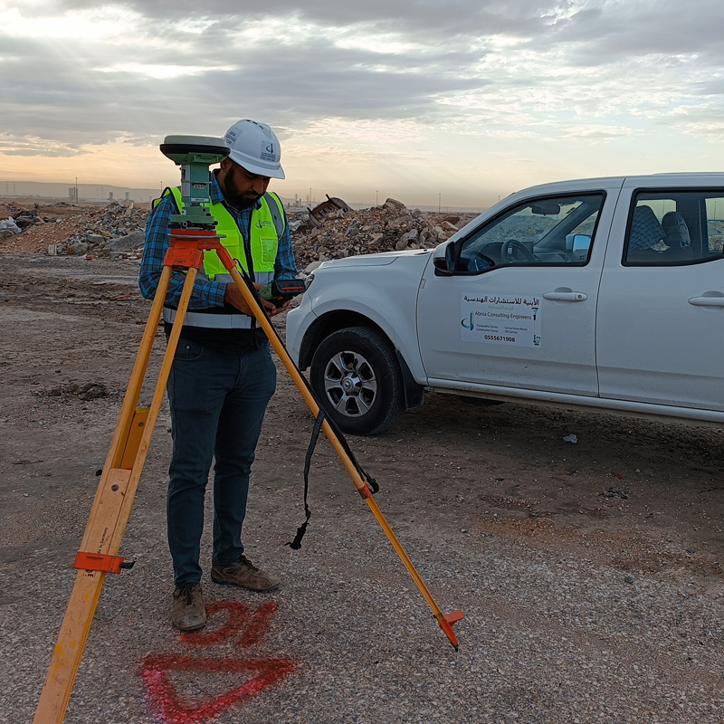
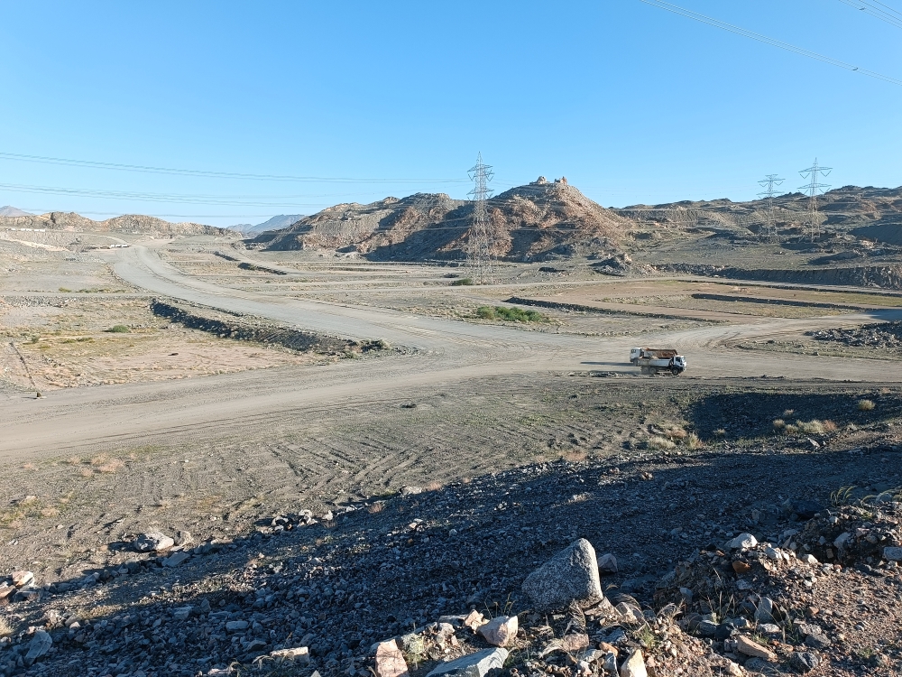
Topographic survey covering approximately 2 km² of land in Al-Hussainiyah. The work included establishing a control network tied to the national reference system, a detailed ground survey of levels and features, and the preparation of contour maps and a digital terrain model for planning and design.
- Client: Government sector
- Location: Al-Hussainiyah, Makkah Region
- Area: about 2 km²
- Scope: Control network, topographic survey, contour maps and DTM