
Project Details
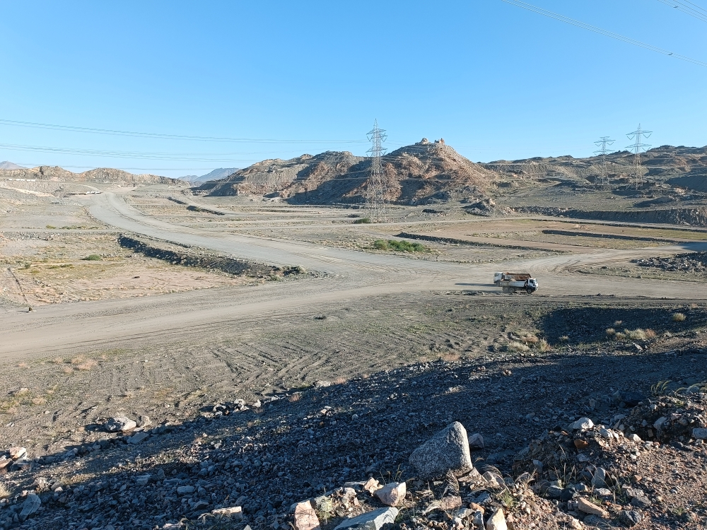
Aerial survey of a large industrial site using UAV photogrammetry supported by GNSS ground control points.
Project Name
Drone Mapping of an Industrial Site – Rabigh
Client
Industrial company
Category
Drone Survey
Location
Rabigh
Year
2024
Project summary
Aerial survey of a large industrial site using UAV photogrammetry supported by GNSS ground control points. Deliverables included a high-resolution orthophoto, a digital surface model and contour maps for planning and expansion studies.
- Client: Industrial company
- Location: Rabigh
- Size: about 4 km²
- Scope: Ground control points, UAV photogrammetry, orthophoto, DSM and contours