Archives: Projects

Project Details

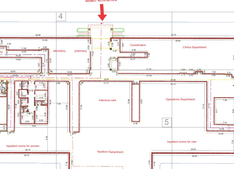
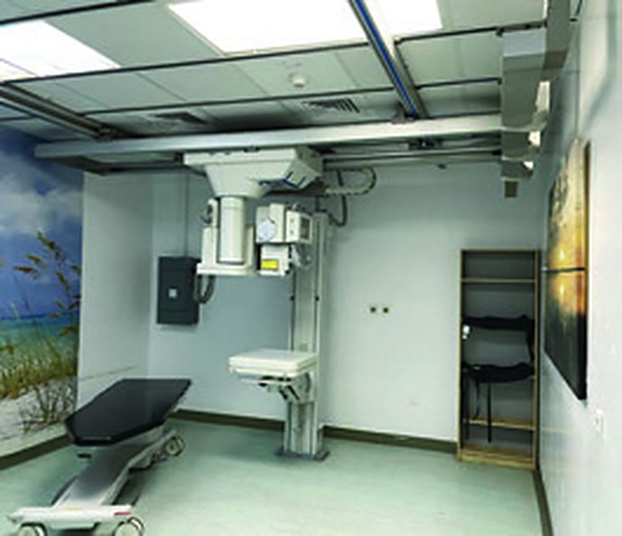
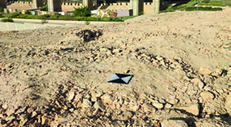
Leica RTC360 scanning of seven radiology centers inside operating hospitals.

Project Name
Radiology Centers Laser Scanning
Category
3D Laser Scanning
ClientVision Realization Office – Ministry of Health
LocationRiyadh and surrounding cities
Year2022
Services3D Laser Scanning

Project overview

Detailed floor plans for seven radiology centers in cities around Riyadh, captured with the Leica RTC360 laser scanner inside operating hospitals, alongside medical staff and patients. The point clouds were processed into high-accuracy plans; some centers covered about 5,000 m².

Scope of work

  • 3D laser scanning with Leica RTC360
  • Detailed floor plans for 7 centers

Project gallery
Planning a similar project?Our survey teams deliver projects like this across every region of Saudi Arabia.
Request a Quotation

Project Details

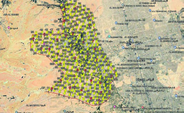
A Class 2 GNSS benchmark network and 300 GCPs for the Diriyah Gate drone survey.

Project Name
Diriyah Gate Surveying Project
Category
Drone Survey,GNSS Control Network
ClientFalconViz
LocationDiriyah, Riyadh
Year2021
ServicesGNSS Control Network, Drone Survey

Project overview

A network of ten Class 2 benchmarks established by precise GNSS static observation and processed in specialized software. From this network we set out 300 ground control points for the FalconViz drone survey, giving the project a single, consistent coordinate framework.

Scope of work

  • 10 Class 2 benchmarks by GNSS static
  • 300 GCPs for drone survey

Project gallery

Planning a similar project?Our survey teams deliver projects like this across every region of Saudi Arabia.
Request a Quotation

Project Details

Control points and a cadastral survey of a large residential plan.

Project Name
Masharef Plan Project
Category
GNSS Control Network,Topographic Survey
ClientKinan International / Diyar Al-Mashreq
LocationJeddah
Year2021
ServicesGNSS Control Network, Topographic Survey

Project overview

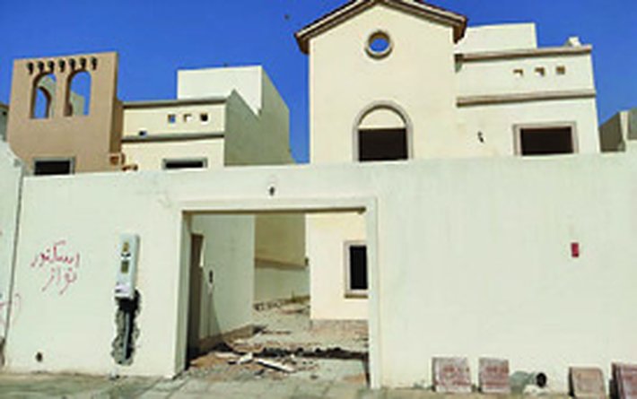
Four control points and a topographic and cadastral survey of the Masharef plan, including survey of a large number of residential buildings under our contract with Kinan.

Scope of work

  • 4 control points
  • Topographic and cadastral survey of residential buildings

Project gallery

Planning a similar project?Our survey teams deliver projects like this across every region of Saudi Arabia.
Request a Quotation

Project Details

Control points and 100 GCPs for the Qiddiya drone survey.

Project Name
Al-Qiddiya Project
Category
Drone Survey,GNSS Control Network
ClientFalconViz
LocationQiddiya, Riyadh
Year2021
ServicesGNSS Control Network, Drone Survey

Project overview

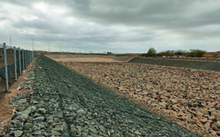
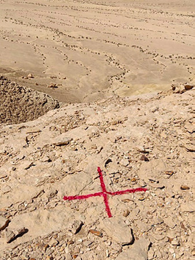
Two control points and 100 ground control points established as the reference for a drone survey of the Qiddiya site.

Scope of work

  • 2 control points
  • 100 GCPs for drone survey

Project gallery

Planning a similar project?Our survey teams deliver projects like this across every region of Saudi Arabia.
Request a Quotation

Project Details

120 RTK ground control points along an extended corridor in Jazan.

Project Name
Jazan Project
Category
Drone Survey,GNSS Control Network
ClientFalconViz
LocationJazan
Year2021
ServicesGNSS Control Network, Drone Survey

Project overview

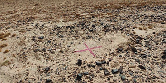
Tied to the Ministry of Municipal and Rural Affairs control network, we surveyed 120 ground control points by GNSS RTK along an extended corridor for a drone survey.

Scope of work

  • 120 GCPs by GNSS RTK tied to MOMRA control

Project gallery

Planning a similar project?Our survey teams deliver projects like this across every region of Saudi Arabia.
Request a Quotation

Project Details

Eight control points and 35 static GCPs across mountainous and coastal terrain.

Project Name
NEOM Project
Category
Drone Survey,GNSS Control Network
ClientFalconViz
LocationNEOM
Year2021
ServicesGNSS Control Network, Drone Survey

Project overview

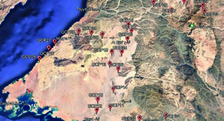
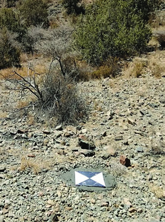
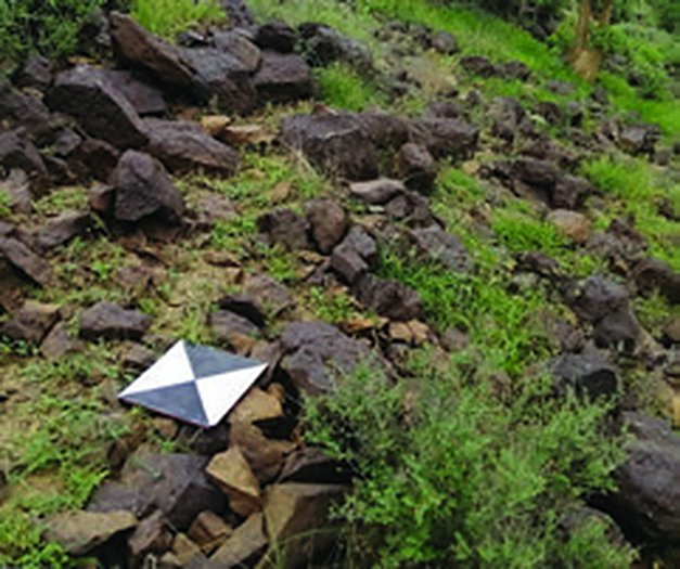
Eight control points and 35 ground control points observed by GNSS static survey to support a drone survey across mountainous and coastal terrain.

Scope of work

  • 8 control points
  • 35 GCPs by GNSS static

Project gallery

Planning a similar project?Our survey teams deliver projects like this across every region of Saudi Arabia.
Request a Quotation

Project Details

Ground control and check points for a drone survey in mountainous terrain.

Project Name
Al-Baha Project
Category
Drone Survey,GNSS Control Network
ClientFalconViz
LocationAl-Baha
Year2021
ServicesGNSS Control Network, Drone Survey

Project overview

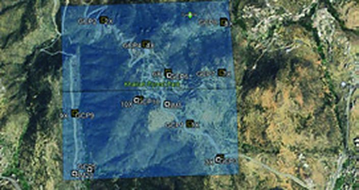
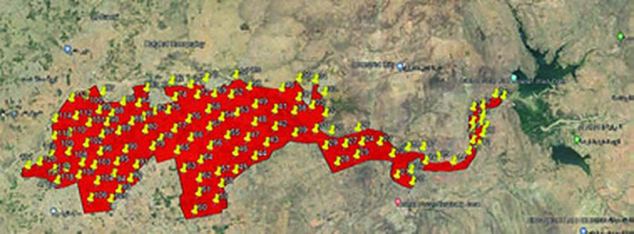
Starting from control point GMN-505, we established ten ground control points and ten check points for a drone survey in the mountainous terrain of Al-Baha.

Scope of work

  • Control from GMN-505
  • 10 GCPs and 10 check points

Project gallery

Planning a similar project?Our survey teams deliver projects like this across every region of Saudi Arabia.
Request a Quotation

Project Details

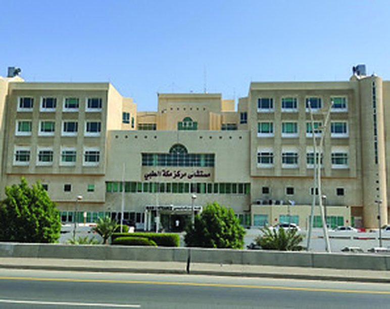
Detailed survey of a 100,000 m² hospital campus.

Project Name
Makkah Medical Center Project
Category
GNSS Control Network,Topographic Survey
ClientMakkah Medical Center
LocationMakkah Region
Year2020
ServicesGNSS Control Network, Topographic Survey

Project overview

A 100,000 m² hospital campus with many complex buildings. Four control points were tied to the Jeddah Municipality VRS network, and the site was surveyed by total station, capturing details, services, levels and boundaries to a high accuracy.

Scope of work

  • 4 control points (VRS)
  • Topographic and cadastral survey of 100,000 m²

Project gallery

Planning a similar project?Our survey teams deliver projects like this across every region of Saudi Arabia.
Request a Quotation

Project Details

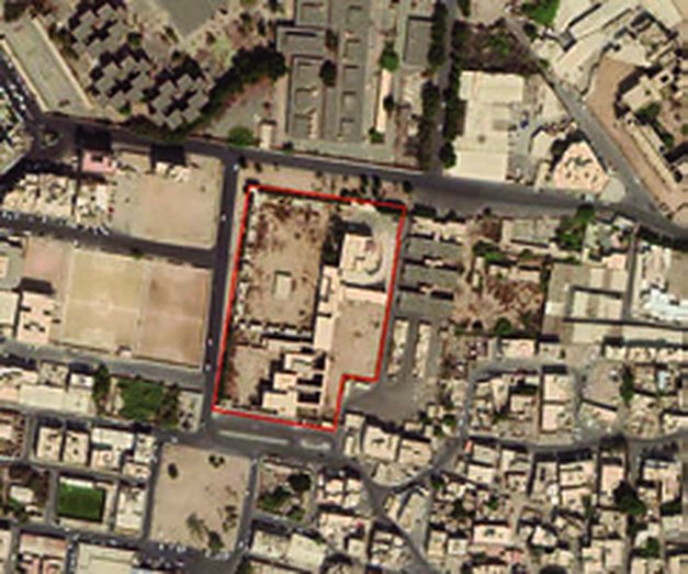
Survey and laser scanning of four historic palaces in Jeddah.

Project Name
Royal Palaces Survey
Category
3D Laser Scanning,GNSS Control Network,Topographic Survey
ClientFalconViz
LocationJeddah
Year2019
ServicesGNSS Control Network, Topographic Survey, 3D Laser Scanning

Project overview

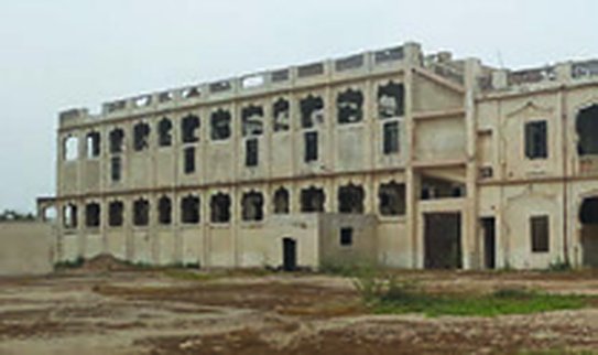
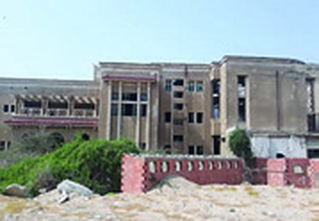
Control points, topographic and cadastral survey and laser scanning of four historic palaces in Jeddah: Saud, Khuzam, Faisal and Al-Saqqaf. We prepared croquis for each site and submitted the boundaries to Jeddah Municipality.

Scope of work

  • Control points
  • Topographic and cadastral survey
  • Laser scanning
  • Croquis

Project gallery

Planning a similar project?Our survey teams deliver projects like this across every region of Saudi Arabia.
Request a Quotation

Project Details

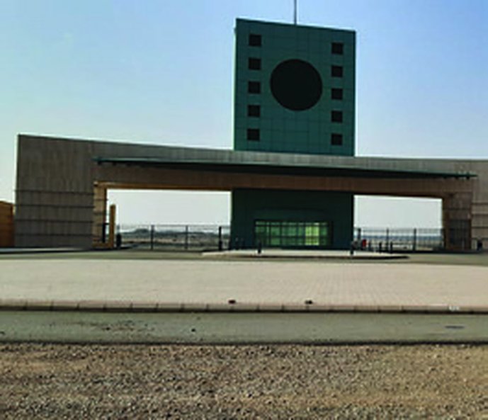
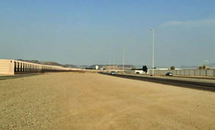
Topographic survey and stakeout works at the University of Jeddah campus.

Project Name
University of Jeddah Project
Category
Construction Survey,Topographic Survey
ClientMash’al Al-Qahtani
LocationJeddah
Year2019
ServicesTopographic Survey, Construction Survey

Project overview

Topographic survey, parking stakeout and landscape setting-out at the University of Jeddah campus, using total station and precise levelling.

Scope of work

  • Topographic survey
  • Parking stakeout
  • Landscape setting-out

Project gallery

Planning a similar project?Our survey teams deliver projects like this across every region of Saudi Arabia.
Request a Quotation

Land Surveying Company in Saudi Arabia · Land Surveying in Jeddah · Land Surveying in Riyadh · Drone Survey Company in Saudi Arabia
Contact Us · Share Your Feedback
Abnia Consulting Engineers – Jeddah, since 1988 – CR 4030227031 – official website abniasurvey.com and mobile +966 55 567 1908 only. We are not affiliated with any other firm using a similar name.
CallWhatsAppGet a quote