
Project Details
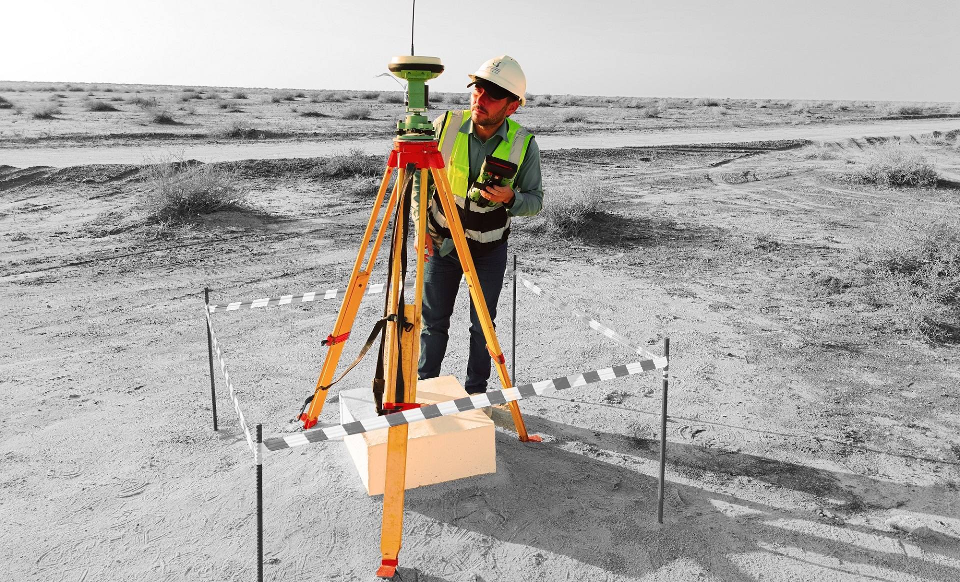
Detailed topographic survey of a residential development site to support master planning and infrastructure design.
Project Name
Topographic Survey for a Residential Master Plan – Makkah
Client
Real estate developer
Category
Topographic Survey
Location
Makkah
Year
2025
Project summary
Detailed topographic survey of a residential development site to support master planning and infrastructure design. Survey control was tied to the national reference system and the data delivered as CAD drawings, contours and a terrain model.
- Client: Real estate developer
- Location: Makkah
- Size: about 1.2 km²
- Scope: GNSS control, detailed topographic survey, contour maps and DTM