Archives: Projects

Project Details

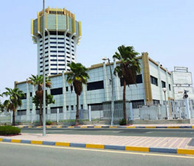
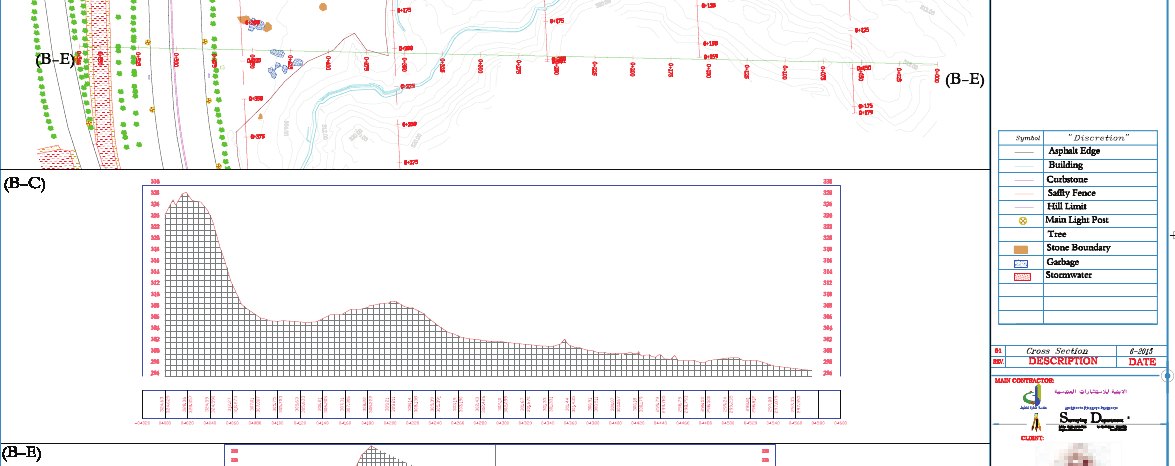
Control points, topographic survey and croquis for port land parcels.

Project Name
Jeddah Seaport Project
Category
GNSS Control Network,Topographic Survey
ClientSaudi Ports Authority (Mawani)
LocationJeddah
Year2018
ServicesGNSS Control Network, Topographic Survey

Project overview

Established control points and carried out a topographic survey with croquis preparation for port land parcels for the Saudi Ports Authority.

Scope of work

  • Control points
  • Topographic survey
  • Croquis

Project gallery

Planning a similar project?Our survey teams deliver projects like this across every region of Saudi Arabia.
Request a Quotation

Project Details

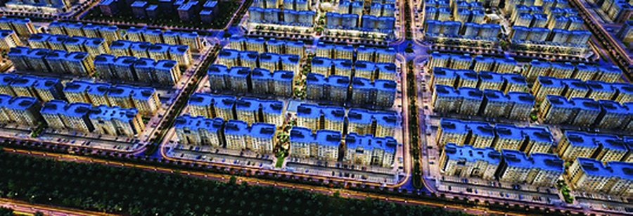
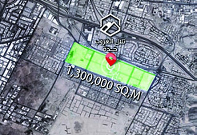
Surveying from infrastructure to building construction on a 1.3 million m² housing project.

Project Name
Prince Fawaz Project
Category
Construction Survey,Topographic Survey
ClientMinistry of Housing
LocationJeddah
Year2017
ServicesConstruction Survey, Topographic Survey

Project overview

A 1,300,000 m² housing development. We have been involved since inception, starting with the infrastructure stage and later acting as surveying consultant for the construction of all buildings in the project.

Scope of work

  • Infrastructure survey
  • Surveying supervision of all buildings
  • 1,300,000 m²

Project gallery

Planning a similar project?Our survey teams deliver projects like this across every region of Saudi Arabia.
Request a Quotation

Project Details

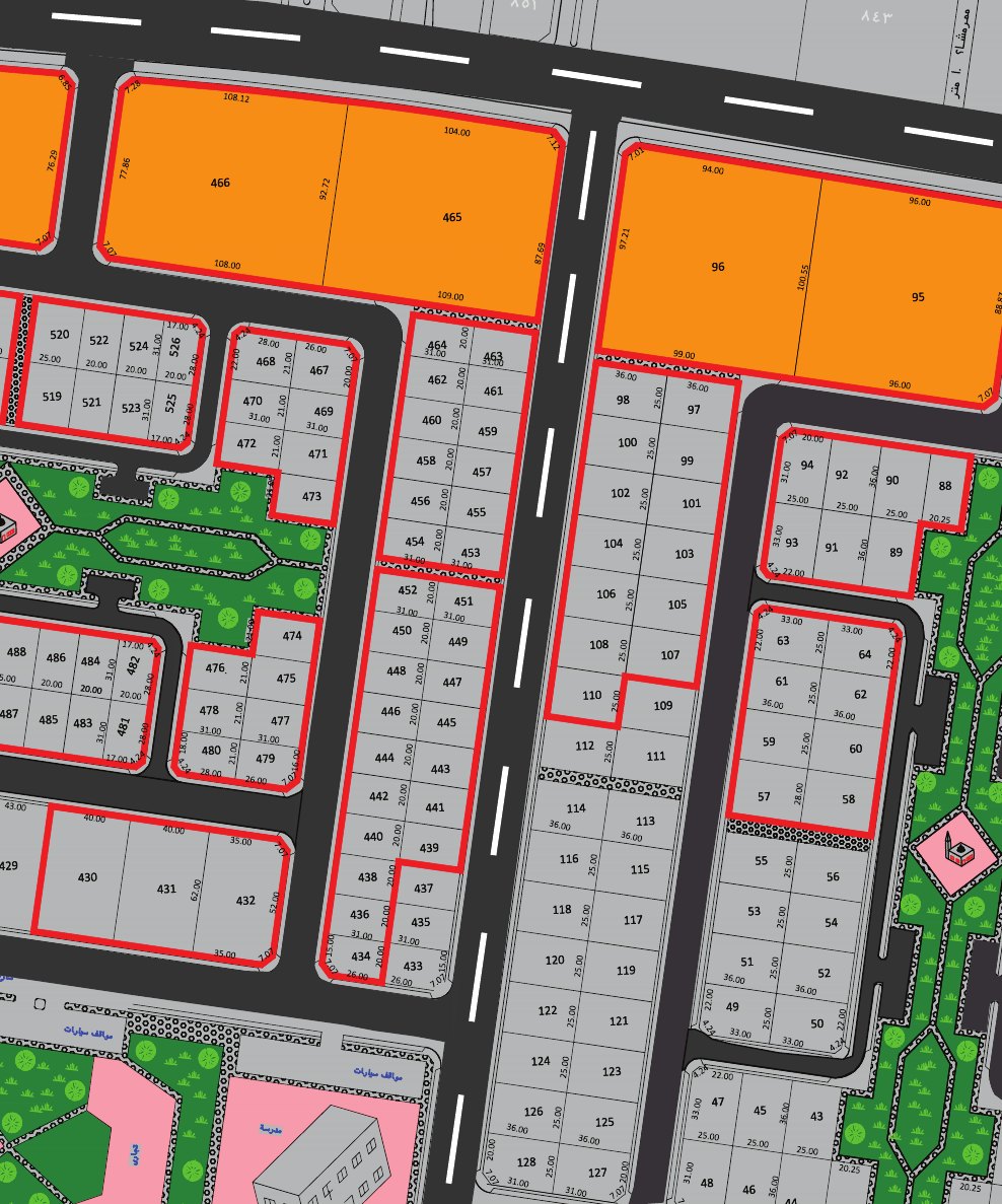
Six residential plans surveyed, every plot marked and a croquis issued for each.

Project Name
Residential Plans Survey
Category
Construction Survey,Topographic Survey
LocationJeddah
Year2017
ServicesTopographic Survey, Construction Survey

Project overview

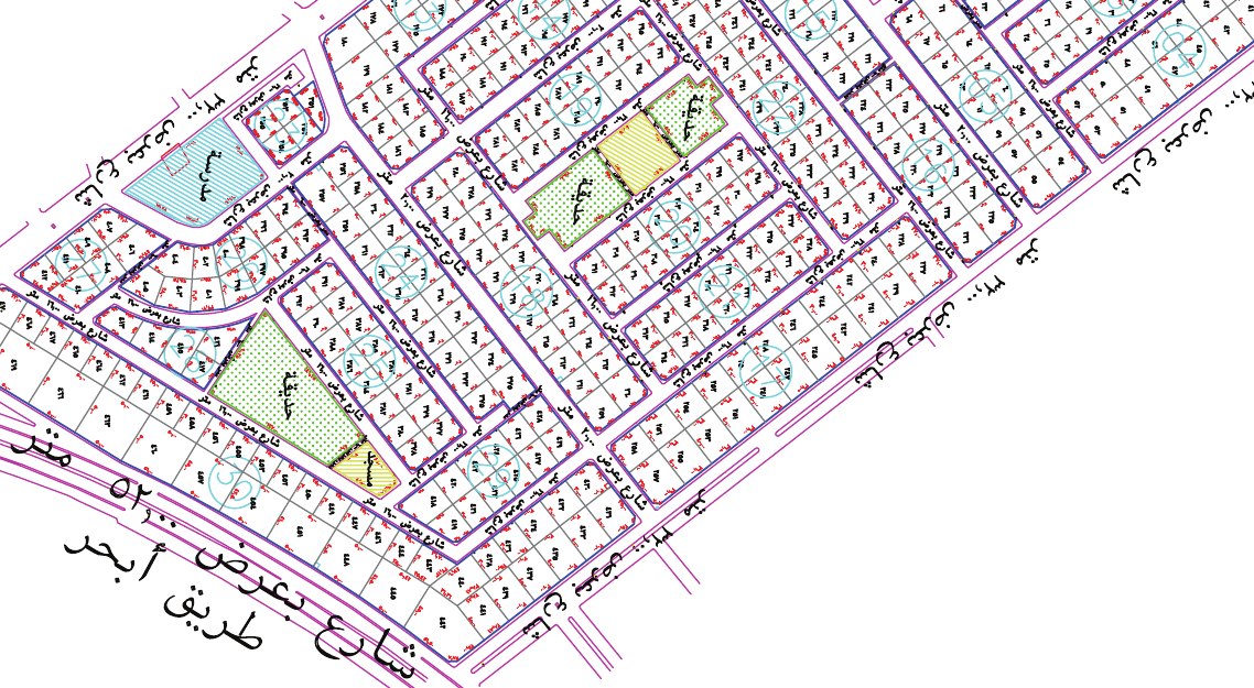
Full survey of six residential plans – Al Basateen, Al Bahr Al Ahmar, Balbeed, Al Mekarish, Al Ghadeer and Al Abeer – with every plot marked by concrete monuments and a croquis prepared for each plot.

Scope of work

  • Full survey of 6 plans
  • Concrete plot markers
  • Croquis for every plot

Project gallery

Planning a similar project?Our survey teams deliver projects like this across every region of Saudi Arabia.
Request a Quotation

Project Details

Control, topographic survey and laser scanning of a major Jeddah hospital.

Project Name
International Medical Center Project
Category
3D Laser Scanning,GNSS Control Network,Topographic Survey
ClientInternational Medical Center
LocationJeddah
Year2017
ServicesGNSS Control Network, Topographic Survey, 3D Laser Scanning

Project overview

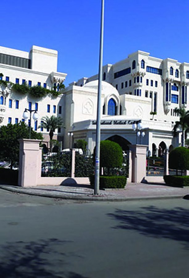
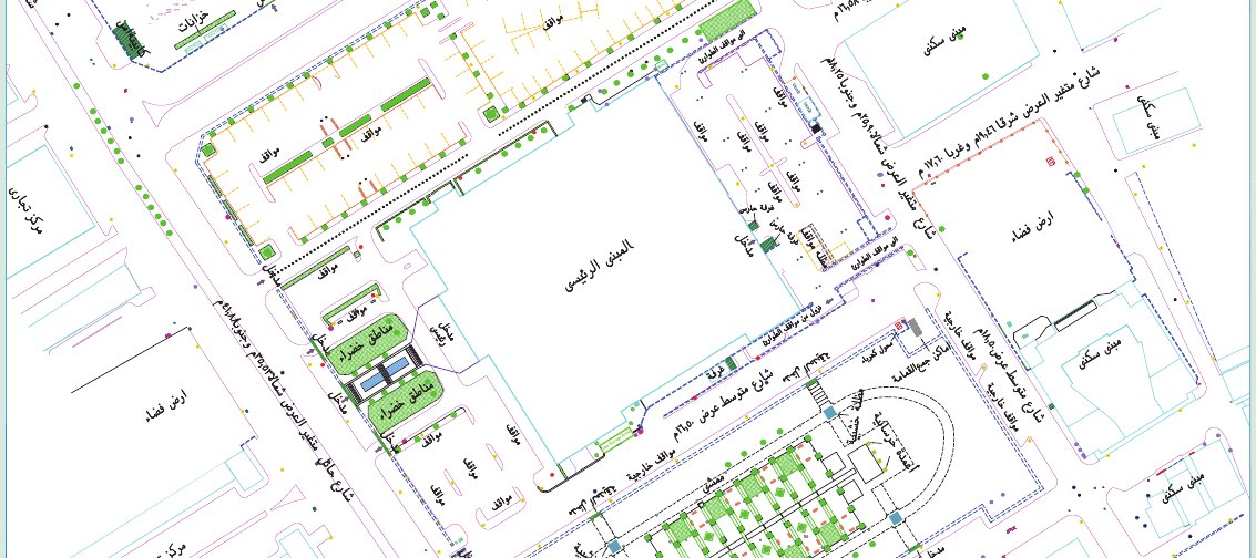
Eight control points tied to the Jeddah Municipality VRS network, followed by topographic and cadastral survey by total station and laser scanning of the hospital buildings.

Scope of work

  • 8 control points (VRS)
  • Topographic and cadastral survey
  • Laser scanning

Project gallery

Planning a similar project?Our survey teams deliver projects like this across every region of Saudi Arabia.
Request a Quotation

Project Details

Survey of historic mosques in Al-Balad, including interior layouts.

Project Name
Al-Balad Mosques Development
Category
GNSS Control Network,Topographic Survey
ClientMinistry of Islamic Affairs
LocationHistoric Jeddah (Al-Balad)
Year2017
ServicesGNSS Control Network, Topographic Survey

Project overview

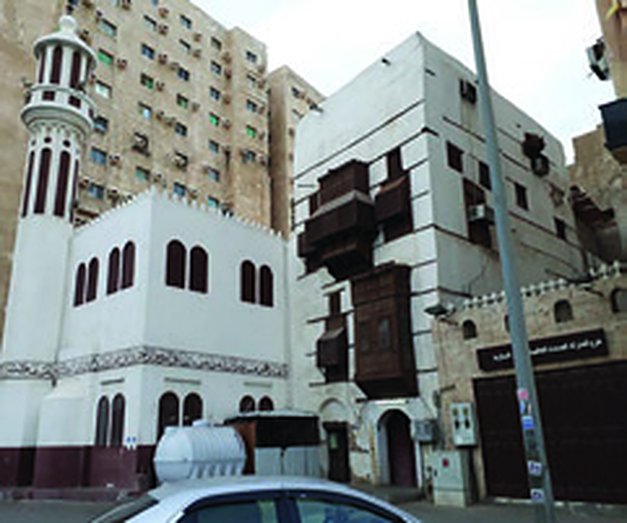
Four control points tied to the Jeddah Municipality VRS network and a topographic and cadastral survey by total station of historic mosques in Al-Balad, including interior layouts.

Scope of work

  • 4 control points (VRS)
  • Topographic and cadastral survey including interiors

Project gallery

Planning a similar project?Our survey teams deliver projects like this across every region of Saudi Arabia.
Request a Quotation

Project Details

Control and ground control points for a drone survey around the Grand Mosque area.

Project Name
Al-Haram Project
Category
Drone Survey,GNSS Control Network
ClientFalconViz
LocationMakkah
Year2017
ServicesGNSS Control Network, Drone Survey

Project overview

Six control points and nine temporary points for ground control and drone survey around the Grand Mosque area, observed with a Leica RTK base.

Scope of work

  • 6 control points
  • 9 temporary points
  • GCPs and drone survey

Project gallery

Planning a similar project?Our survey teams deliver projects like this across every region of Saudi Arabia.
Request a Quotation

Project Details

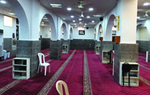
Drone survey of the Holy Sites with 146 RTK ground control points.

Project Name
Holy Sites Project
Category
Drone Survey,GNSS Control Network
ClientFalconViz
LocationHoly Sites, Makkah
Year2017
ServicesDrone Survey, GNSS Control Network

Project overview

Drone survey of the Holy Sites supported by 146 ground control points observed by RTK from a Leica base station.

Scope of work

  • Drone survey
  • 146 GCPs by RTK

Project gallery

Planning a similar project?Our survey teams deliver projects like this across every region of Saudi Arabia.
Request a Quotation

Project Details

Control and topographic survey for a tower site on the Jeddah Corniche.

Project Name
Zetas Aqua Tower Project
Category
GNSS Control Network,Topographic Survey
ClientZetas Arabia
LocationJeddah
Year2016
ServicesGNSS Control Network, Topographic Survey

Project overview

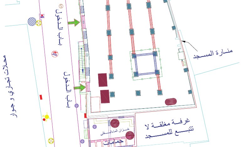
Eight control points tied to the Jeddah Municipality VRS network, and a topographic and cadastral survey by total station for the Aqua Tower site on the Jeddah Corniche.

Scope of work

  • 8 control points (VRS)
  • Topographic and cadastral survey

Project gallery

Planning a similar project?Our survey teams deliver projects like this across every region of Saudi Arabia.
Request a Quotation

Project Details

As-built survey of about 2.6 million m² in Makkah.

Project Name
Jabal Al-Sharashef Project
Category
GNSS Control Network,Topographic Survey
ClientAl-Balad Al-Ameen Company
LocationMakkah
Year2015
ServicesGNSS Control Network, Topographic Survey

Project overview

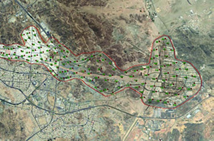
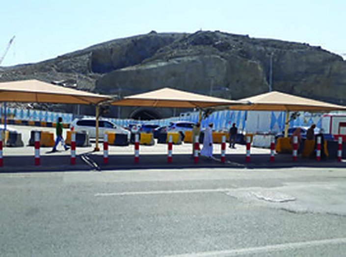
Control points and an as-built topographic and cadastral survey of the unplanned areas of Jabal Al-Sharashef in Makkah, covering about 2.6 million m².

Scope of work

  • Control points
  • As-built topographic and cadastral survey
  • About 2.6 million m²

Project gallery

Planning a similar project?Our survey teams deliver projects like this across every region of Saudi Arabia.
Request a Quotation

Project Details

Topographic survey with contours and profiles of Jabal Al-Rahma.

Project Name
Jabal Al-Rahma & Heritage Village
Category
GNSS Control Network,Topographic Survey
ClientDhiyafat Al-Balad Al-Ameen
LocationArafat, Makkah
Year2015
ServicesGNSS Control Network, Topographic Survey

Project overview

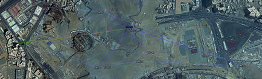
Four control points transferred to site from Makkah benchmark G-182, followed by a topographic and cadastral survey of Jabal Al-Rahma and the heritage village, including contours and profiles.

Scope of work

  • 4 control points from benchmark G-182
  • Topographic and cadastral survey
  • Contours and profiles

Project gallery

Planning a similar project?Our survey teams deliver projects like this across every region of Saudi Arabia.
Request a Quotation

Land Surveying Company in Saudi Arabia · Land Surveying in Jeddah · Land Surveying in Riyadh · Drone Survey Company in Saudi Arabia
Contact Us · Share Your Feedback
Abnia Consulting Engineers – Jeddah, since 1988 – CR 4030227031 – official website abniasurvey.com and mobile +966 55 567 1908 only. We are not affiliated with any other firm using a similar name.
CallWhatsAppGet a quote